From Raw Points to Ready-to-Use Data
Cleaning, Thinning, and Converting Point Clouds with Confidence
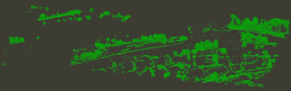
Point cloud data is powerful - but raw point clouds are rarely ready for analysis out of the box. Noise, redundant points, uneven densities, and mixed surface types can quickly turn promising datasets into processing bottlenecks.
That’s where data cleaning and conversion come in.
With LIS Pro 3D, you can efficiently filter and thin massive point cloud datasets, reduce complexity without losing detail, and derive standardized raster products such as DTM, DSM, and nDSM - all while keeping full control over data quality.
Thinning Point Clouds Without Losing Information
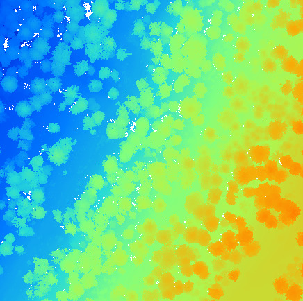
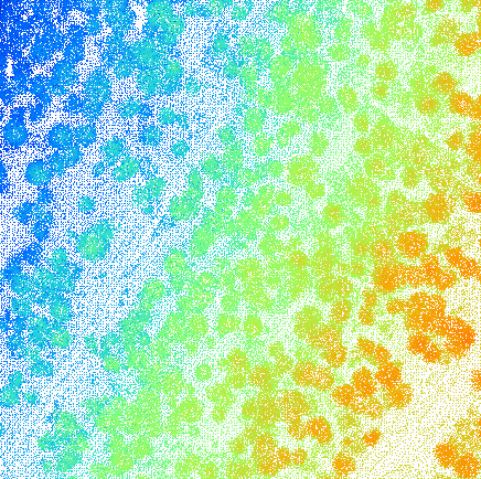
High-density point clouds are a blessing - and sometimes a curse. While detail is valuable, excessive point density can slow down processing and visualization without adding meaningful insight.
Point cloud thinning lets you:
- Reduce file size and memory usage
- Normalize point density across the scene
- Maintain structural detail where it matters most
The result is a dataset that’s easier to handle, faster to process, and still rich in information. Explore LIS Pro 3D’s thinning tools!
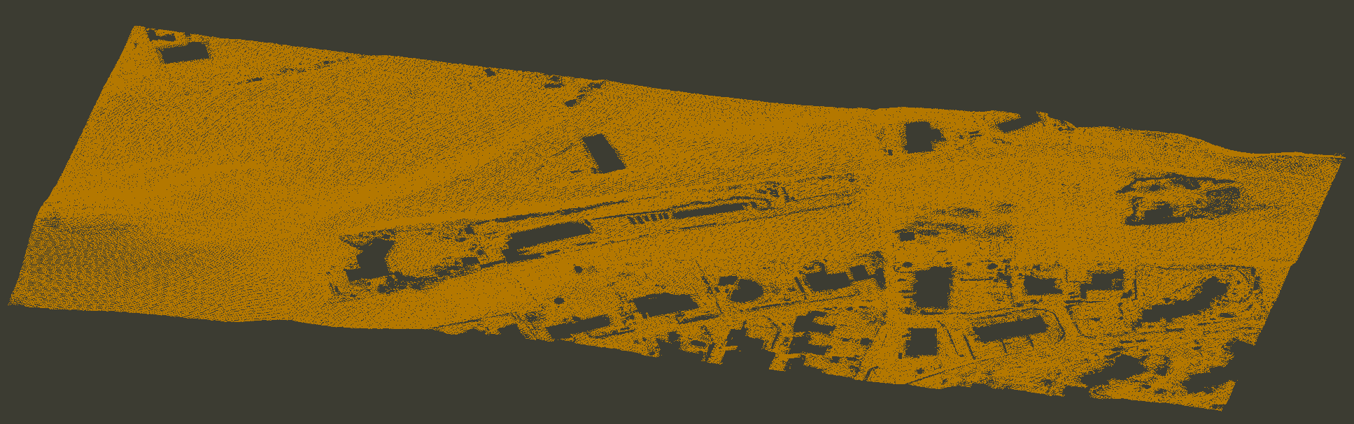
Clean Data Starts with Smart Filtering
Raw point clouds often contain outliers, scan artifacts, and unwanted objects. Effective filtering allows you to remove irrelevant points early in the workflow - saving time, storage, and processing power.
Typical cleaning steps include:
- Removing isolated or noisy points
- Filtering by height, classification, or return type
- Separating ground and non-ground points
By cleaning the data at the source, you ensure that every downstream analysis is built on a reliable foundation. LIS Pro 3D includes various tools for outlier removel and attribute-based filtering.
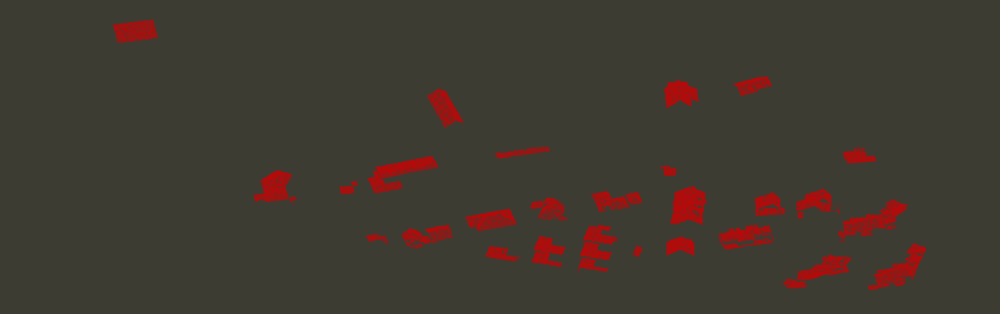
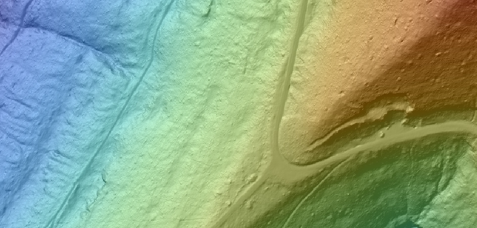
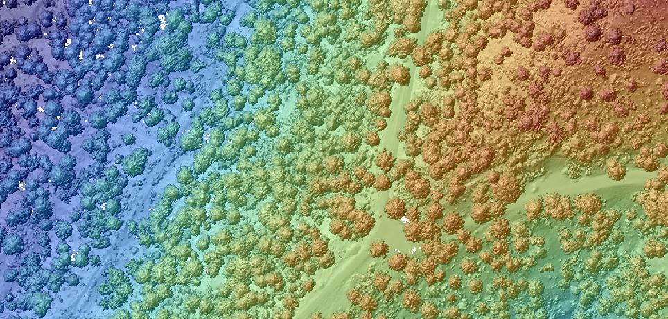
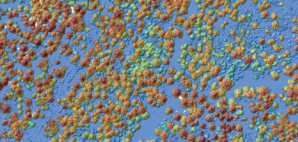
From Points to Surfaces: Raster Product Generation
Once your data is clean and optimized, LIS Pro 3D allows converting point clouds into raster products to unlock their full potential.
Common derivatives include:
- DTM (Digital Terrain Model): bare-earth representation of the ground
- DSM (Digital Surface Model): surface including buildings and vegetation
- nDSM (Normalized DSM): object heights relative to the ground
These raster layers integrate seamlessly into GIS and analysis workflows, enabling applications from forestry and urban planning to hydrology and environmental modeling.
A Smoother Path from Acquisition to Insight
Efficient data cleaning and conversion bridges the gap between raw acquisition and meaningful results. By filtering noise, thinning intelligently, and generating standardized raster products, you turn complex point cloud data into a dependable asset - ready for visualization, analysis, and decision-making.
- Browse LIS Pro 3D’s solutions
- Explore the comprehensive tutorial section to see what’s possible!